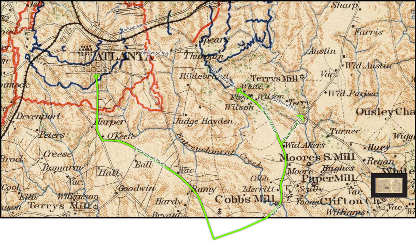
Map
A number of people have requested a map of the route I followed for my Bitter Southerner piece. Your wish is my (belated) command. Here are two. The first is a period map showing Union and Confederate dispositions on the day of the battle (the interior blue lines represent Union investment of Atlanta following the Confederate retreat in September, I believe). I've superimposed some modern street names, though I should note that Glenwood is pretty much a wild guess.
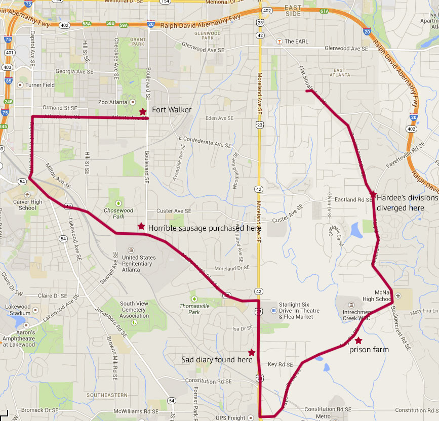
The second is the modern map with my route a few key locations superimposed.
Enjoy!